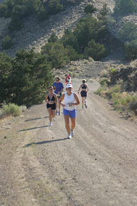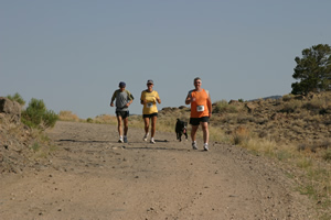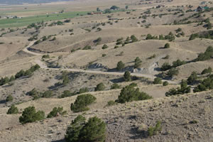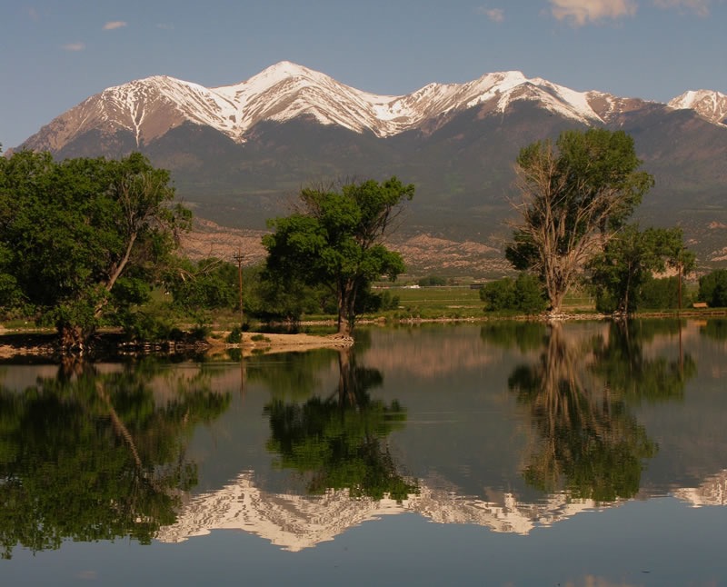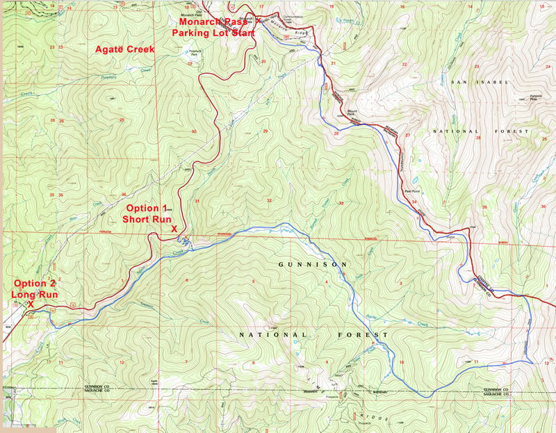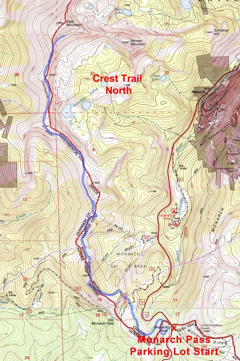
5th Spiral Drive Run Salida, Colorado – 7/1/06 – 4 miles – 500′ climb
| place | name | last name | age | time |
|
1 |
Bobby | Nicolls |
15 |
26:01 |
|
2 |
Tom | Sobal |
48 |
26:39 |
|
3 |
Doug | Agne |
36 |
27:15 |
|
4 |
Harald | Kaspar-Riggio |
42 |
27:43 |
|
5 |
Curtis | Poltie |
16 |
27:53 |
|
6 |
Eric | Swihart |
29 |
28:07 |
|
7 |
Danny | Nicolls |
13 |
28:18 |
|
8 |
Bob | Provorse |
50 |
29:27 |
|
9 |
Victor | Selenow |
53 |
32:04 |
|
10 |
Audrey | Swann | f37 |
34:12 |
|
11 |
Vicki | Schehrer | f39 |
36:06 |
|
12 |
Corey | Vollinger |
16 |
36:58 |
|
13 |
Dave | Brewer |
41 |
37:12 |
|
14 |
Carl | Koecher |
67 |
37:45 |
|
15 |
Matt | Schehrer |
47 |
38:10 |
|
16 |
Rex | Reed |
53 |
38:26 |
|
17 |
Tammy | May | f51 |
38:33 |
|
18 |
Richard “Mac” |
McCrady |
74 |
38:39 |
|
19 |
Ken | Hughes |
36 |
39:12 |
|
20 |
Susan | Selenow | f54 |
39:47 |
|
21 |
Casey | Dorfeld |
64 |
40:56 |
|
22 |
Roger | Miller |
63 |
41:09 |
|
23 |
Erika | Sanchez | f15 |
41:15 |
|
24 |
John | Carlson |
38 |
42:03 |
|
25 |
Pamela | Wedige | f51 |
42:22 |
|
26 |
Jim | Williams |
49 |
42:35 |
|
27 |
Kevin | Hughes |
6 |
43:52 |
|
28 |
John | Sturtevant |
72 |
43:53 |
|
29 |
Leo | DiOrio |
44 |
44:31 |
|
30 |
Paul | Ottmer |
53 |
46:18 |
|
31 |
Erin | Dobbin | f23 |
46:46 |
|
32 |
Julia | Roberts | f56 |
47:04 |
|
33 |
Marla | Sailors | f49 |
49:45 |
|
34 |
Tammie | Lavercombe | f45 |
55:45 |
|
35 |
Connie | Cole | f50 |
58:01 |
|
36 |
Brooke | Mertz | f23 |
60:44 |
|
37 |
Rachel | Mulvenon | f27 |
60:45 |
|
38 |
Rochelle | Valdez | f38 |
60:46 |
|
39 |
Gail | Granzella | f43 |
61:51 |
|
40 |
Samantha | Shake | f36 |
62:18 |
|
41 |
Bev | Quick | f58 |
62:19 |