An accurate 5km has been marked off near Salida, and its point to point downhill (150+ foot net drop) and general with the wind direction will somewhat negate the slowing of the altitude here to a certain extent.
Every 500 meters of this route is marked (usually on the right side of the road or bike trail with blue then purple lines). It is all on low traffic paved roads with good visibility and/or separate bike/pedestrian trails.
Starting from Thonoff Park off west 3rd Street in Salida, jog out (warm up!) about 2 miles west/southwest on Poncha Blvd/County Road 120 to just past the County road 145 intersection. About 50 yards past this intersection on the North Side of the road is a blue/purple start.
You start this course out here, starting to run on CR 120 back to town. (reverse direction of warm up jog) Take the left turn onto CR 145 just after the start. About 900 meters along CR 145 you will see the blue 4 on the right side (1 kilometer down/4 to go). After this you come to a T intersection with CR 140. Turn right. For those of you that know it you are now between kilometers 6 and 7 of the Fibark 10km course.
Continue 800 meters on CR 140 to your next paved intersection with CR 144. Turn left on CR 144. About 100 meters on CR 144 is the 3km to go mark. You are now on the Fibark 5km course also. There is a wide paved shoulder on the right side of the road (part of the Salida Trail System). Use it.
CR 144 takes a sweeping banked right hand turn just after the half way mark. Stay on this road until it feeds into CR 160/Crestone Avenue. Take a right on Crestone Avenue or, better yet, on the separate Salida Trail/sidewalk section just to the right side of the road.
The 2km to go mark is 20 meters past the intersection of CR 144 and 160.
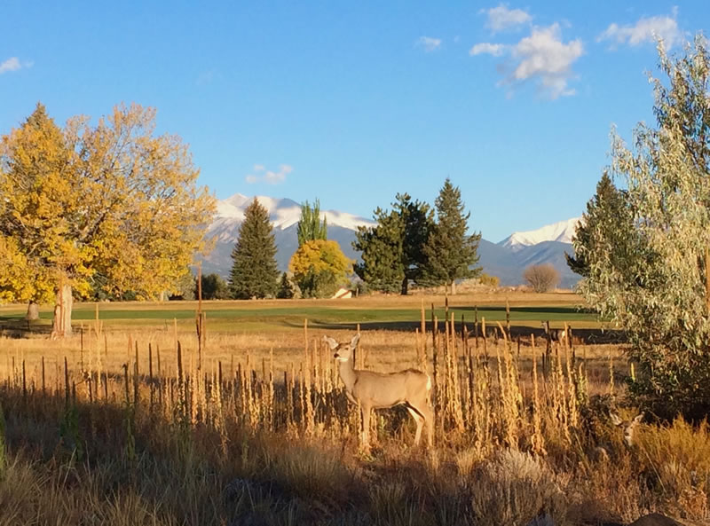
Continue on the Salida Trail/CR 160/Crestone avenue, passing the 1km to go mark near the middle point of the golf course.
The separate bike trail ends near the golf course clubhouse. Stay on the right side of wide Crestone Avenue as you pass an intersection with Grant Street coming in from your right (Caution! Although drivers will have a clear view of you for quite some distance)
You will veer right slightly down a little hill (still on Crestone Avenue) about 400 meters from the finish, which is painted on the road at Thonoff Park.
The simple directions, turning only at paved intersections with county roads: Start, left (on 145); right (on 140); left (on 144); right (on 160/Crestone Ave) and then on Crestone Ave to the finish.
Beware as the last 2 kilometers of the route will be under construction for a time this summer.